
Antaragrafik Systems participated as an exhibitor at SWaM 2026 – National Conference on Stormwater Management, held from 2nd–3rd September 2026 at Sunway Putra Hotel, Kuala Lumpur.
Jointly organised by the Jabatan Pengairan dan Saliran Malaysia (JPS) and the Malaysian Stormwater Organisation (MSO), the conference brought together government agencies, industry professionals and stakeholders to exchange knowledge and explore approaches towards more resilient stormwater management.
Under the theme “Inspired by Nature, Engineered for Resilience”, the conference highlighted the importance of strengthening Malaysia’s ability to manage stormwater and reduce flood risks amid increasingly challenging climate conditions.
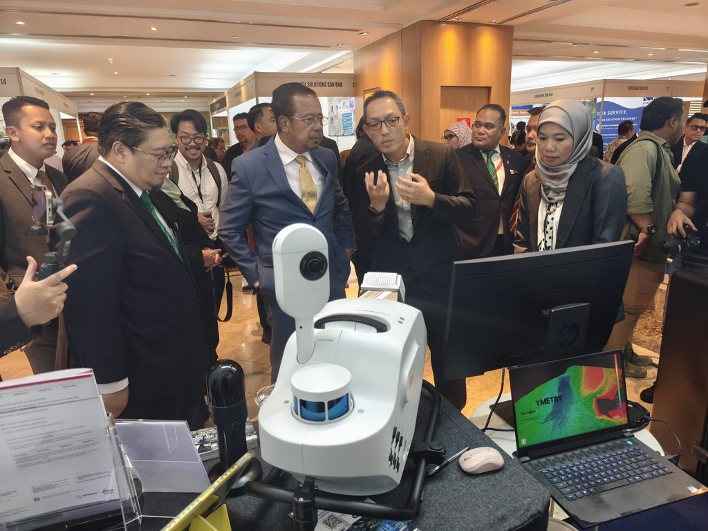
At our exhibition, Antaragrafik showcased how geospatial and reality capture technologies can support stormwater and drainage management. Through technologies such as mobile mapping, LiDAR, reality capture and GIS, detailed information on drainage infrastructure, terrain and surrounding environments can be captured and transformed into meaningful geospatial information for planning, analysis and decision-making.
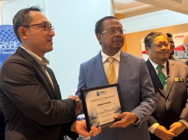
One of the highlights of the event was the opportunity to demonstrate our geospatial capabilities to conference delegates and industry leaders. Leica Geosystems’ mobile mapping technology, presented at the Antaragrafik exhibition, also gained media attention during the conference.
SWaM 2026 provided Antaragrafik with a valuable opportunity not only to showcase technology, but also to engage directly with professionals working on Malaysia’s stormwater, drainage and flood-management challenges. We thank the organisers, our technology partner Leica Geosystems, and everyone who visited our exhibition and exchanged ideas with our team.
We thank the organisers, our technology partner Leica Geosystems, and everyone who visited our exhibition and exchanged ideas with our team.
Antaragrafik Systems — Making Sense of Geodata.
Follow Antaragrafik
Stay updated with our latest geospatial innovations, AI applications, and project highlights.



Connect with us for insights on Surveying, LiDAR, and geospatial technology in Malaysia.
