
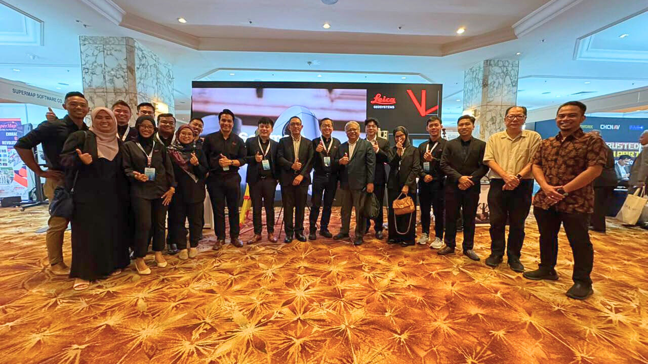
At SEASC 2026, Antaragrafik Systems joined Leica Geosystems in bringing together technology, experience and real-world geospatial applications for the surveying community.
Held on 18th – 19th August 2026 at Shangri-La Kuala Lumpur, the congress brought together surveying and geospatial professionals from across the region, providing a platform to exchange ideas, explore new technologies and discuss the evolving needs of the industry.
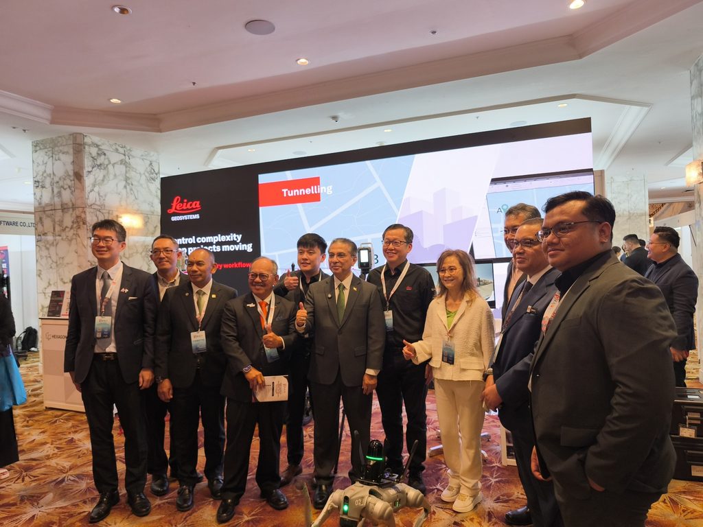
Together with Leica Geosystems, visitors were able to experience the latest surveying and reality capture technologies, including the Leica TS20, RTC360, BLK ARC with robotic platform and TRK500 mobile mapping system.
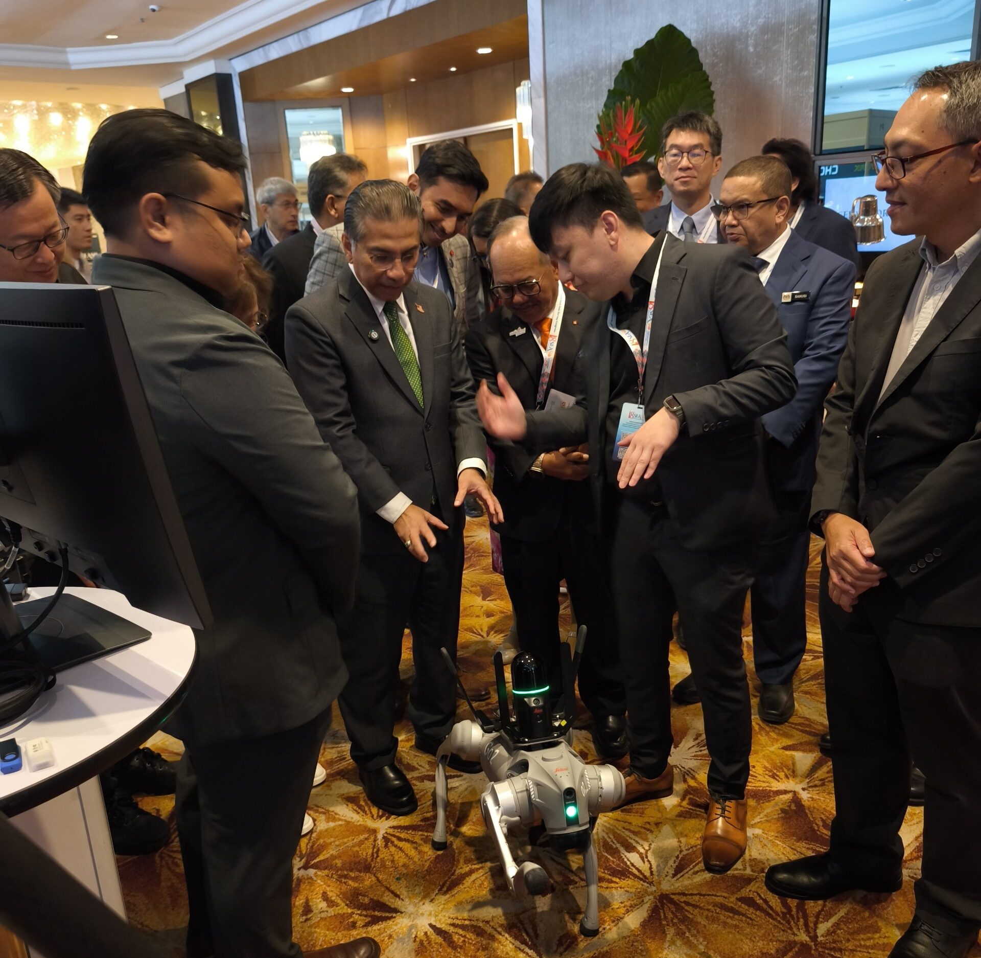
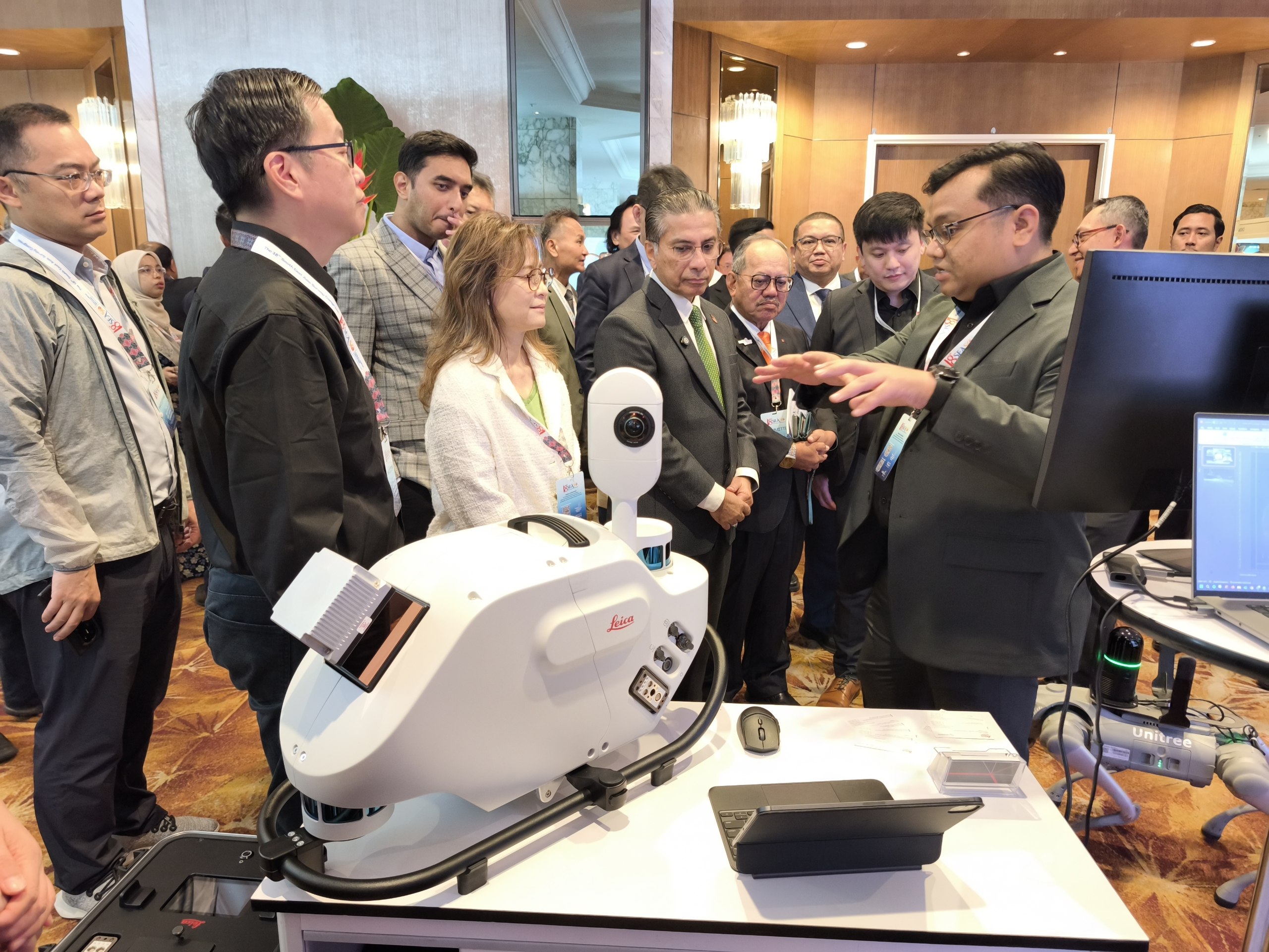
For Antaragrafik, however, the technology is only part of the story.
For more than 30 years, we have worked with geospatial data across the entire journey — from data acquisition and reality capture to processing, analysis, visualization and final geospatial solutions.
At SEASC 2026, we shared how these technologies and capabilities are applied across real-world projects involving airborne mapping, mobile mapping, 3D reality capture, topographic mapping, infrastructure, coastal and marine environments, and enterprise geospatial applications.
Our participation alongside Leica Geosystems also reflects a long-standing technology partnership that continues to evolve as surveying moves towards more connected, automated and data-driven workflows.
Thank you to everyone who visited us, exchanged ideas with our team and experienced the technologies during SEASC 2026.
30 years on, we continue doing what we do best — Making Sense of Geodata.
Follow Antaragrafik
Stay updated with our latest geospatial innovations, AI applications, and project highlights.



Connect with us for insights on Surveying, LiDAR, and geospatial technology in Malaysia.
