GGT 2025: How AI Is Transforming Geospatial Work in Malaysia
Antaragrafik at GGT 2025 — showcasing how AI, LiDAR, and geospatial technologies are applied in real-world workflows across Malaysia.
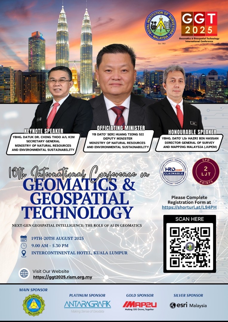
Antaragrafik proudly participated in the Geomatics & Geospatial Technology Conference (GGT 2025) in Kuala Lumpur as a Platinum Sponsor.
The event brought together government agencies, industry leaders, and academic institutions to explore how AI, LiDAR, mobile mapping, and laser scanning are shaping modern geospatial workflows in Malaysia.
Our Participation
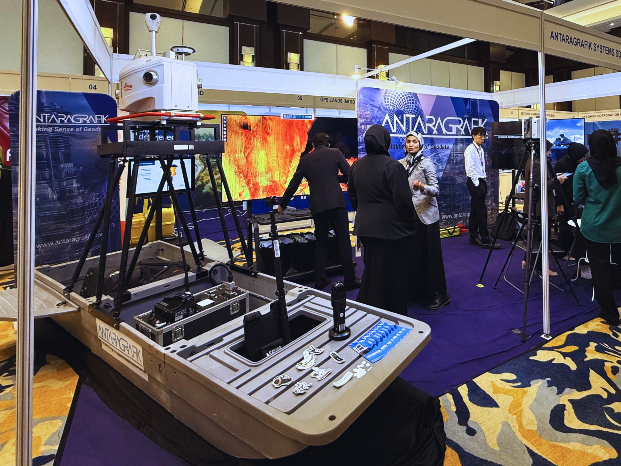
As a Platinum Sponsor, Antaragrafik hosted an interactive booth demonstrating our expertise in LiDAR, mobile mapping systems, and laser scanning technologies.
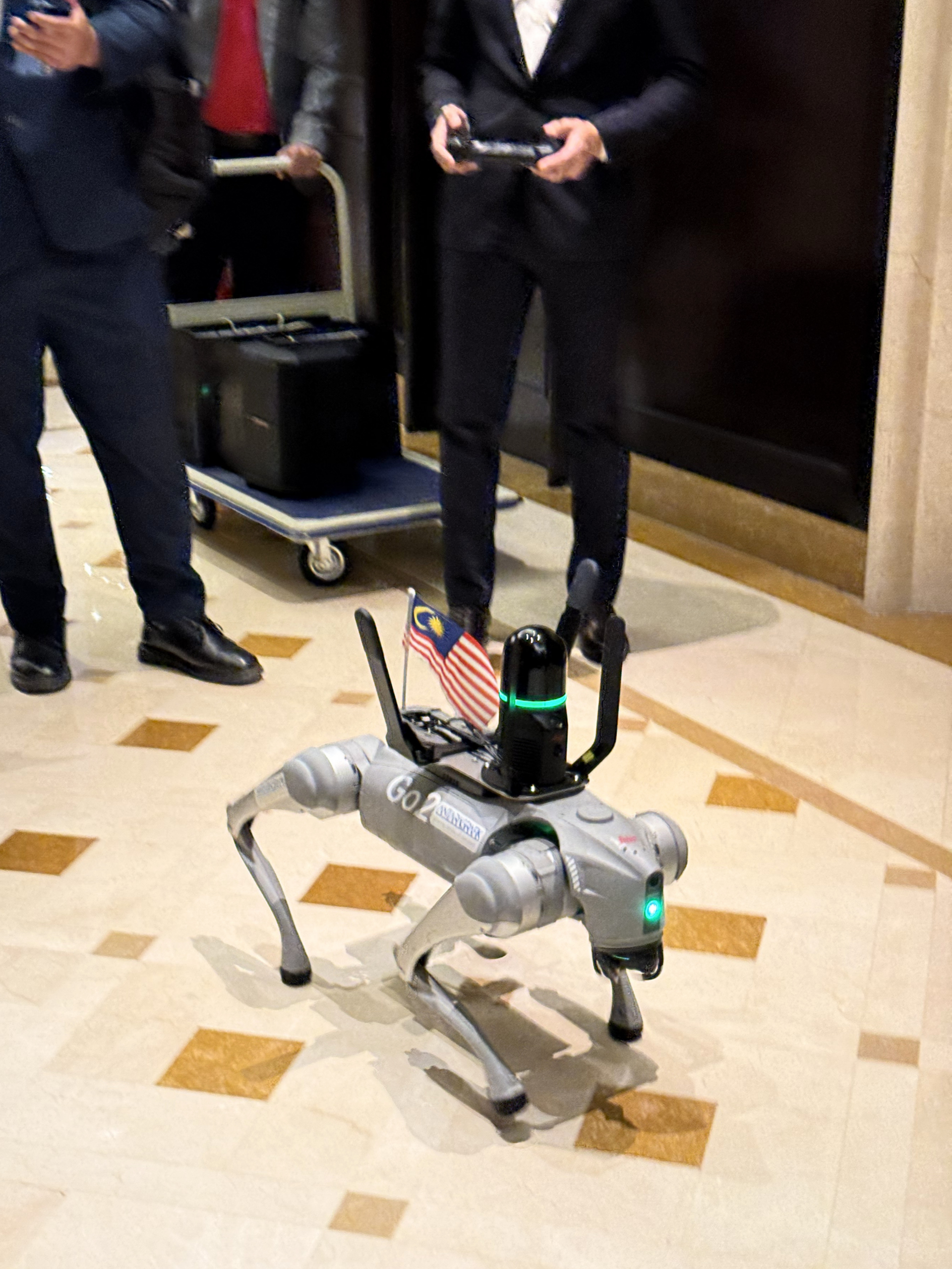
Visitors experienced real-world geospatial data capture using:
- Mobile mapping systems
- Handheld laser scanners
- Terrestrial laser scanning
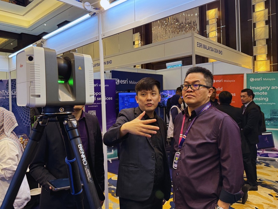
The focus extended beyond equipment — highlighting how collected data is applied in real scenarios such as mapping, planning, and site verification.
Participants from agencies like JUPEM and JPS, along with industry professionals and students, engaged actively throughout the event.
Session Highlights
Antaragrafik, in collaboration with Hexagon, presented a session titled:
“Mapping the AI Future: Digital Twin Readiness”
The session was delivered by En. Nasfarazi Mohd Din, Chief Strategy Officer of Antaragrafik, and Mr. Faheem Khan, President Asia at Hexagon Geosystems.
It explored how AI is transforming geospatial workflows by converting large volumes of data into actionable insights.
The workflow can be simplified into three key stages:
- Data Collection — using LiDAR, aerial imagery, and survey data
- Processing — applying AI to analyse and structure the data
- Output — delivering insights for planning and decision-making
“Collecting data is no longer the biggest challenge — using the data properly is.”
Industry Insights
One clear takeaway from GGT 2025 is that the geospatial industry is evolving beyond map production.
The focus is shifting towards using data to support real-world decisions.
How AI Is Changing Geospatial Work
AI enables organisations to process large geospatial datasets faster, reduce manual effort, and improve consistency.
It is already being applied in areas such as:
- Flood risk mapping
- Land use analysis
- Infrastructure mapping
- Change detection and monitoring
However, successful implementation still depends on:
- High-quality data
- Well-defined workflows
- Proper validation and verification
Many organisations continue to face challenges such as inconsistent data formats, manual processes, and slow approval cycles — highlighting that the real issue is not technology, but how data is managed and utilised.
Why AI Matters in Geospatial Work
Geospatial projects involve complex and large-scale datasets. Without automation, processing and analysing this data can be time-consuming and resource-intensive.
By integrating AI with LiDAR and mapping technologies, organisations can:
- Process data faster
- Reduce human error
- Improve consistency
- Enable better planning and decision-making
Conclusion
GGT 2025 highlights a clear shift in geospatial work — from data collection to data utilisation.
While AI plays a critical role, the true value lies in effectively combining data, technology, and workflow to generate meaningful outcomes.
Follow Antaragrafik
Stay updated with our latest geospatial innovations, AI applications, and project highlights.
Connect with us for insights on AI, LiDAR, and geospatial technology in Malaysia.